The United States is suffering from aging infrastructure, earning a D+ grade nationwide on an A-F scale, the American Society of Civil Engineers reports. To better observe these structures, including deteriorating roads and bridges, University of Missouri (MU) scientists have developed a smartphone-based monitoring system.
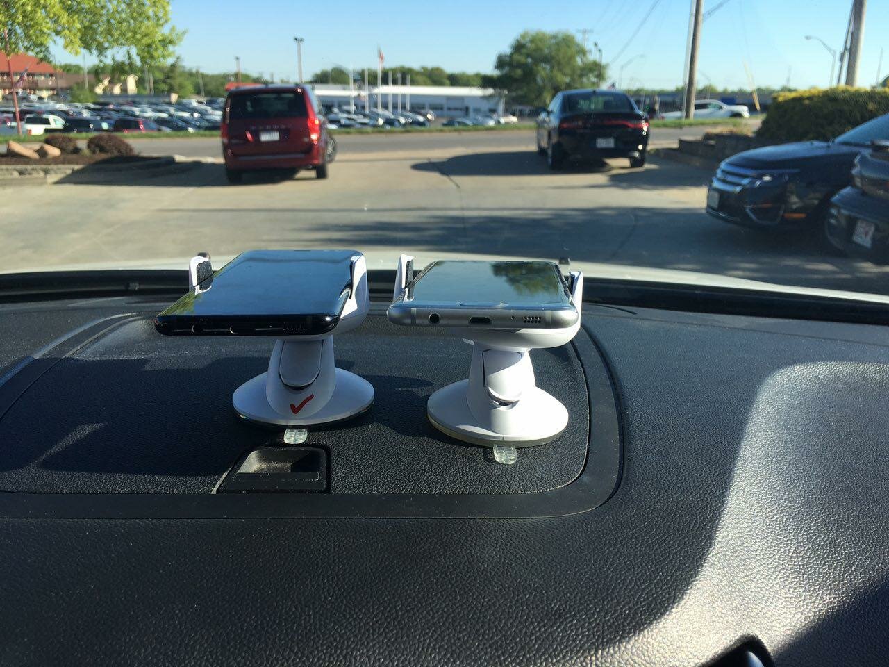
Smartphones are packed with various sensors, such as a camera, accelerometer, gyroscope, and an external infrared sensor. Once the sensors are connected to a smartphone, users can transmit real-time infrastructure updates wirelessly to a database as they ride on a road.
“Assessing roads, bridges, and airfields with affordable sensors, such as those found in smartphones, really works,” says Bill Buttlar, the Glen Barton chair of Flexible Pavement Technology. “With a smartphone, we can stitch together many inexpensive measurements to accurately assess things like the roughness or deterioration of a road surface. In a recent project sponsored by the Missouri Department of Transportation, we also showed that it can accurately assess the condition of airport runways and taxiways.”

(Image Source: University of Missouri-Columbia )
The researchers believe the crowdsourcing-gathered data set will help create a clearer picture of road and bridge safety, thus facilitating more informed decisions.
“Many of the existing methods to monitor our civil infrastructure systems have technical issues and are not user-centered,” says Amir Alavi, assistant professor of civil and environmental engineering in the MU College of Engineering, with a courtesy appointment in the Department of Biomedical, Biological and Chemical Engineering.
Alavi explains the public desires a “smart, cost-effective, scalable, user-centered” approach, and with the advancements in mobile technology, people can join the effort to monitor civil infrastructure.
To learn more, read the study, “An overview of smartphone technology for citizen-centered, real-time and scalable civil infrastructure monitoring,” published in Future Generation Computer Systems.
Filed Under: Infrastructure


