(AP Photo/Ted S. Warren)
Using everything from a customized DC-8 jetliner to ground radars to four-inch rain gauges, scientists are fanning out across one of the soggiest places in the United States this month to measure raindrops and snowflakes like never before.
Led by NASA and the University of Washington, the field experiment on the Olympic Peninsula attempts to validate, on the ground, how well global satellites measure precipitation from space, which is crucial for areas of the world that lack rain gauges or other equipment.
Read more: NASA, UW Team Up to Track Rain, Snow in Soggy Washington
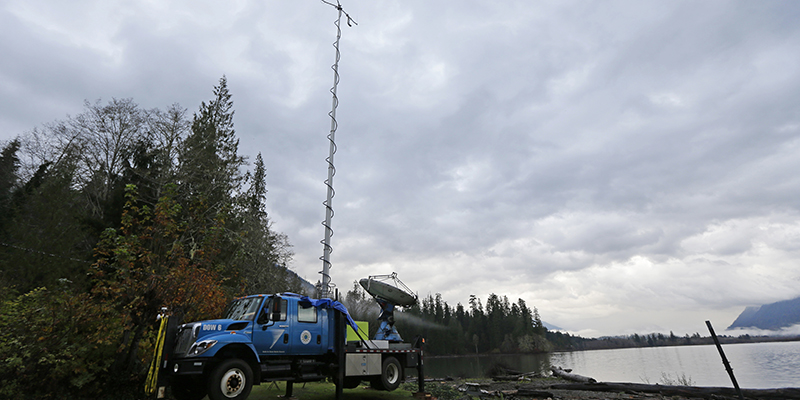
In the above photo, a truck-mounted radar instrument — called the Doppler On Wheels — scans cloudy skies Friday, Nov. 6, 2015, on the banks of Lake Quinault near Amanda Park, Wash.
(AP Photo/Ted S. Warren)
The four-month long OLYMPEX project will collect detailed atmospheric data — right down to the size of raindrops — that fall over the ocean, along the coast, in the foothills and the rugged Olympic Mountains. Ground instruments have already started collecting data and NASA’s DC-8, a flying science laboratory, arrives in Washington state this week.
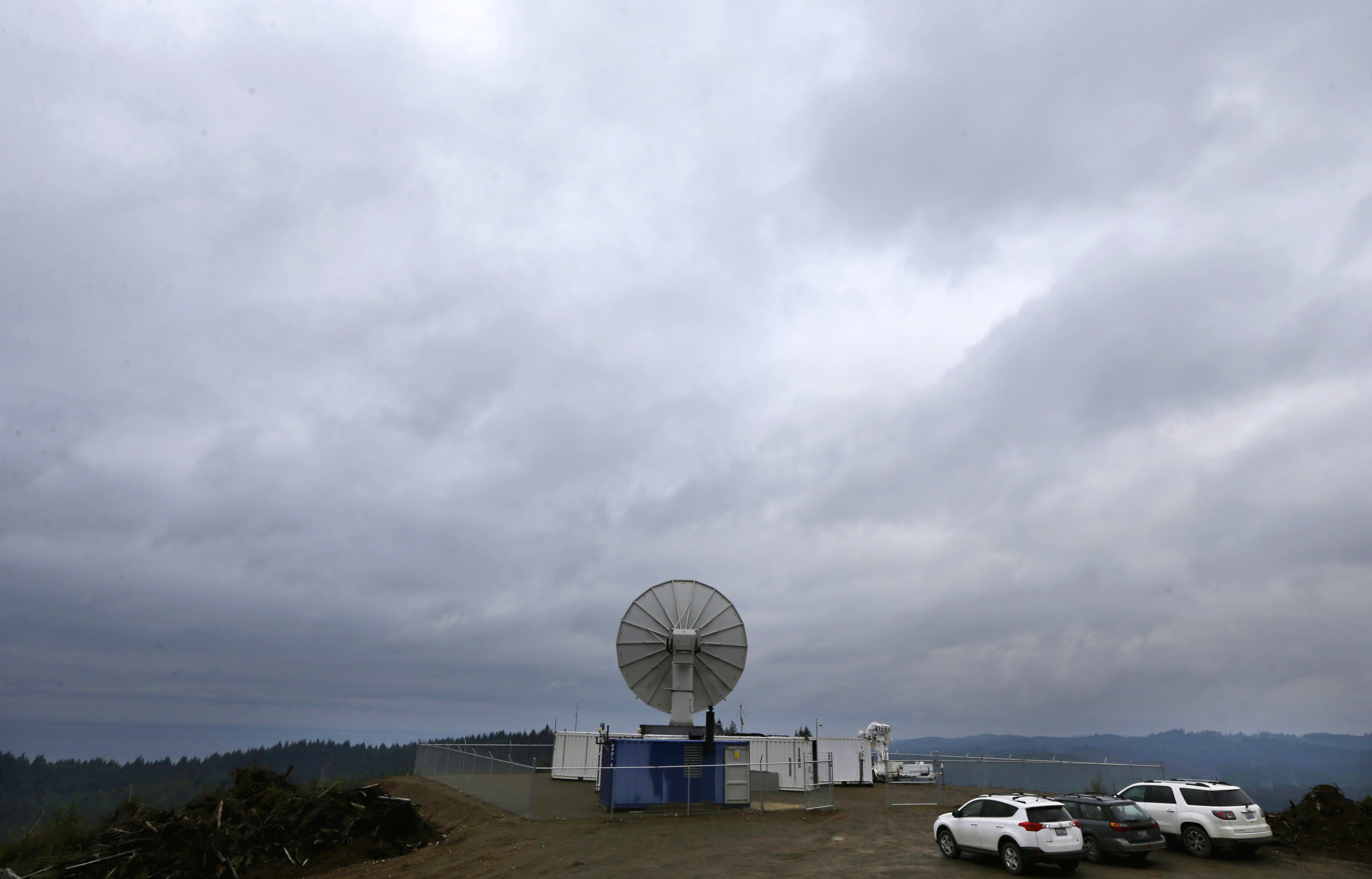
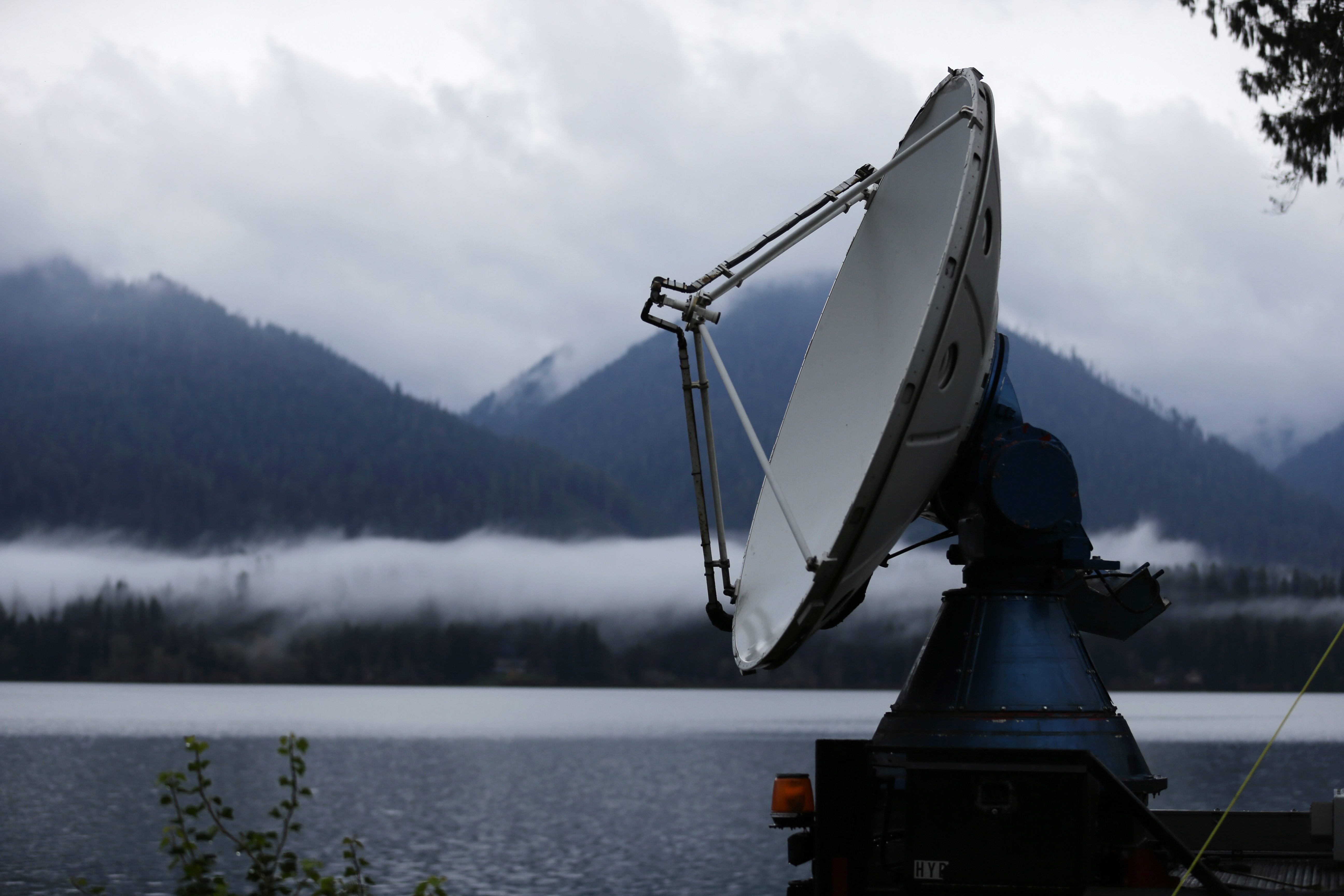
In the above photo, radar instruments installed on a hilltop near Moclips, Wash., scan cloudy skies Friday, Nov. 6, 2015.
(AP Photo/Ted S. Warren)
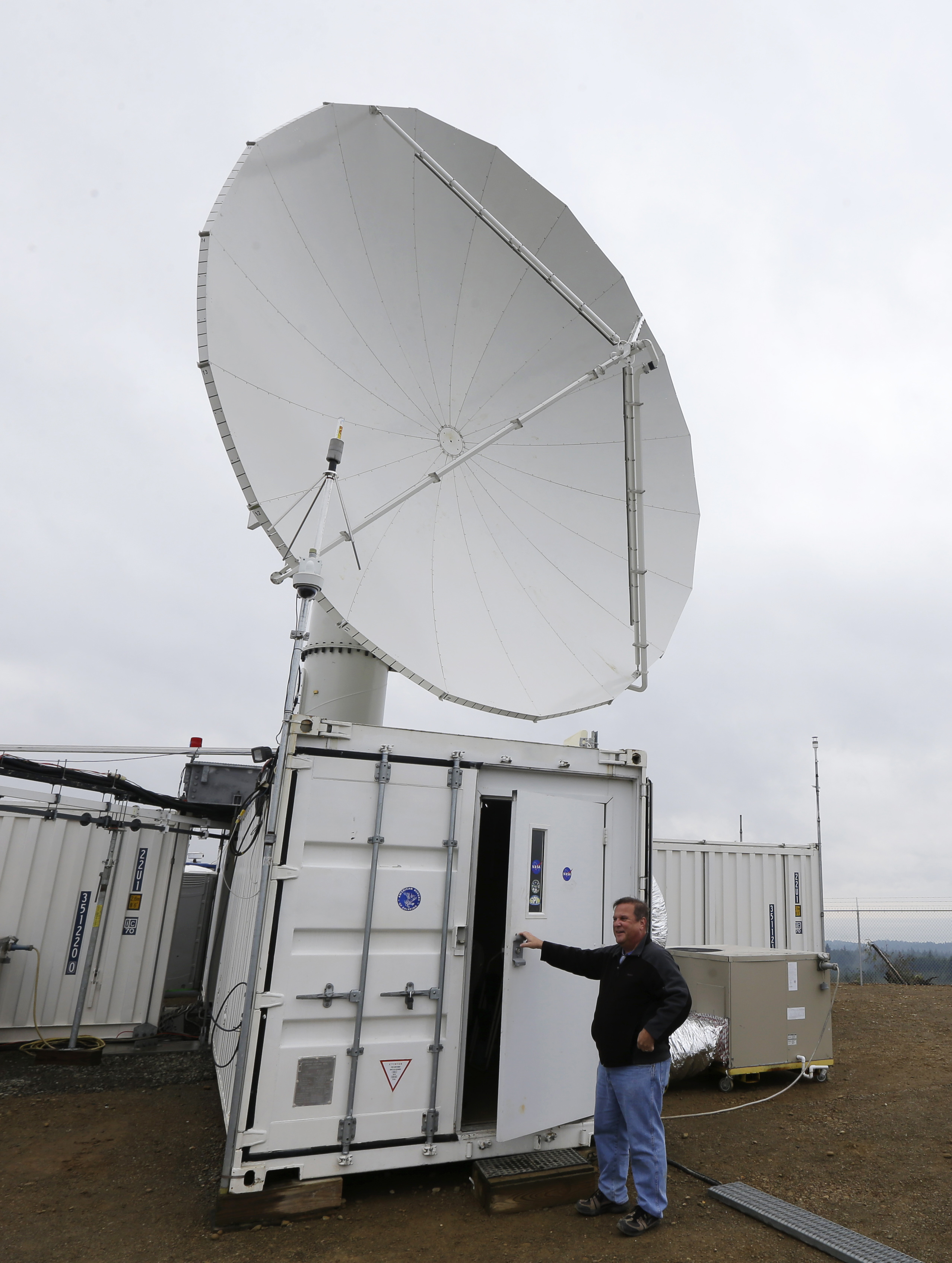
David Wolff, a research scientist with NASA, opens the door to a mobile workspace, Friday, Nov. 6, 2015, below one of the large radar instruments installed on a hilltop near Moclips, Wash.
(AP Photo/Ted S. Warren)
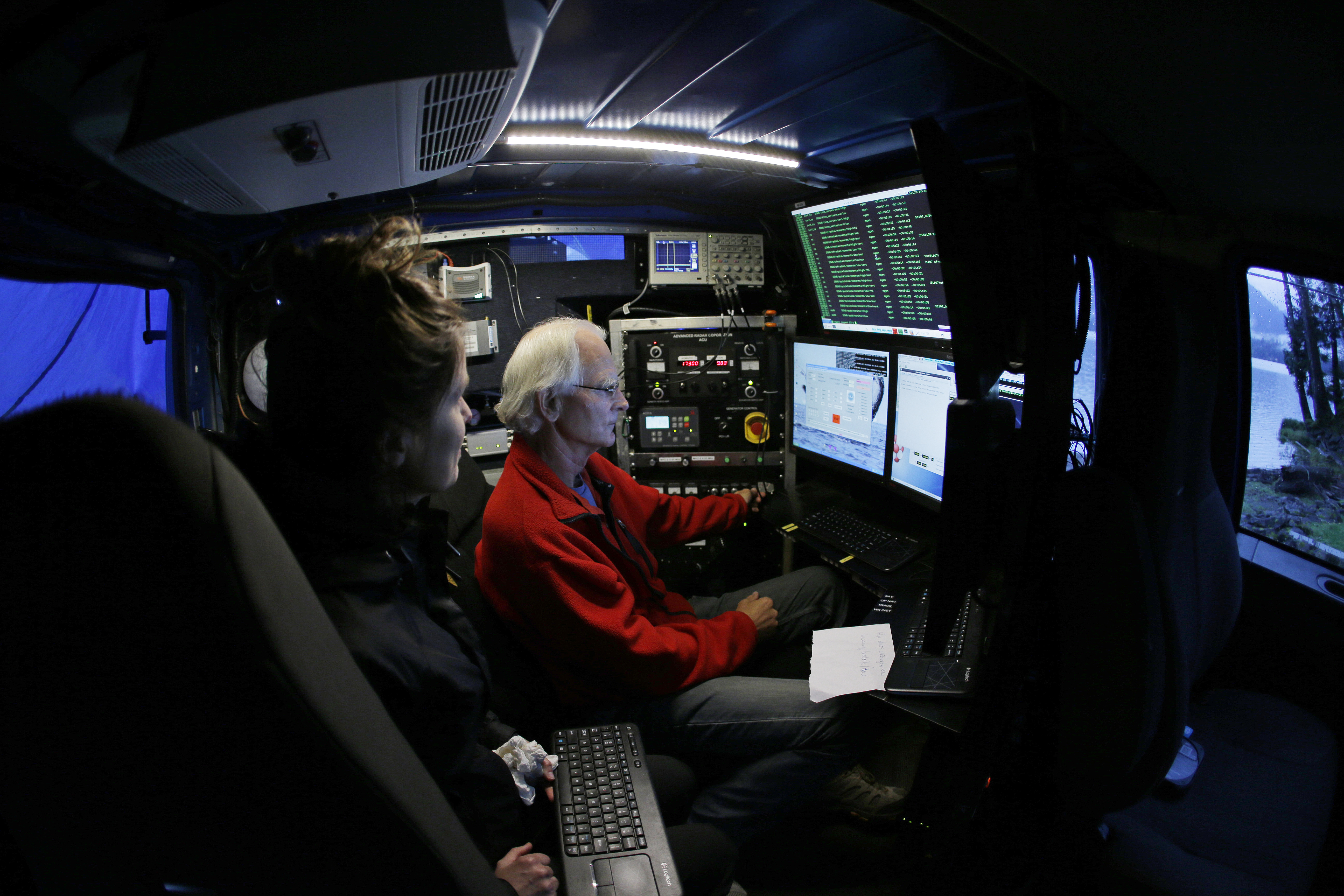
Radar Meteorologists Mike Dixon, right, and Karen Kosiba, left, view data screens as they work in a truck-mounted radar instrument called the Doppler On Wheels, Friday, Nov. 6, 2015, on the banks of Lake Quinault near Amanda Park, Wash.
(AP Photo/Ted S. Warren)
A truck-mounted radar instrument called the Doppler On Wheels scans cloudy skies Friday, Nov. 6, 2015, on the banks of Lake Quinault near Amanda Park, Wash.
.jpg)
(AP Photo/Ted S. Warren)
David Wolff, a research scientist with NASA, poses for a photo Friday, Nov. 6, 2015, next to one of the large radar instruments installed on a hilltop near Moclips, Wash.
 2.jpg)
(AP Photo/Ted S. Warren)
Brandon Jameson, a ground validation engineer, adjusts a rain gauge located at the Quinault National Fish Hatchery, near Humptulips, Wash., Friday, Nov. 6, 2015.
 3.jpg)
(AP Photo/Ted S. Warren)
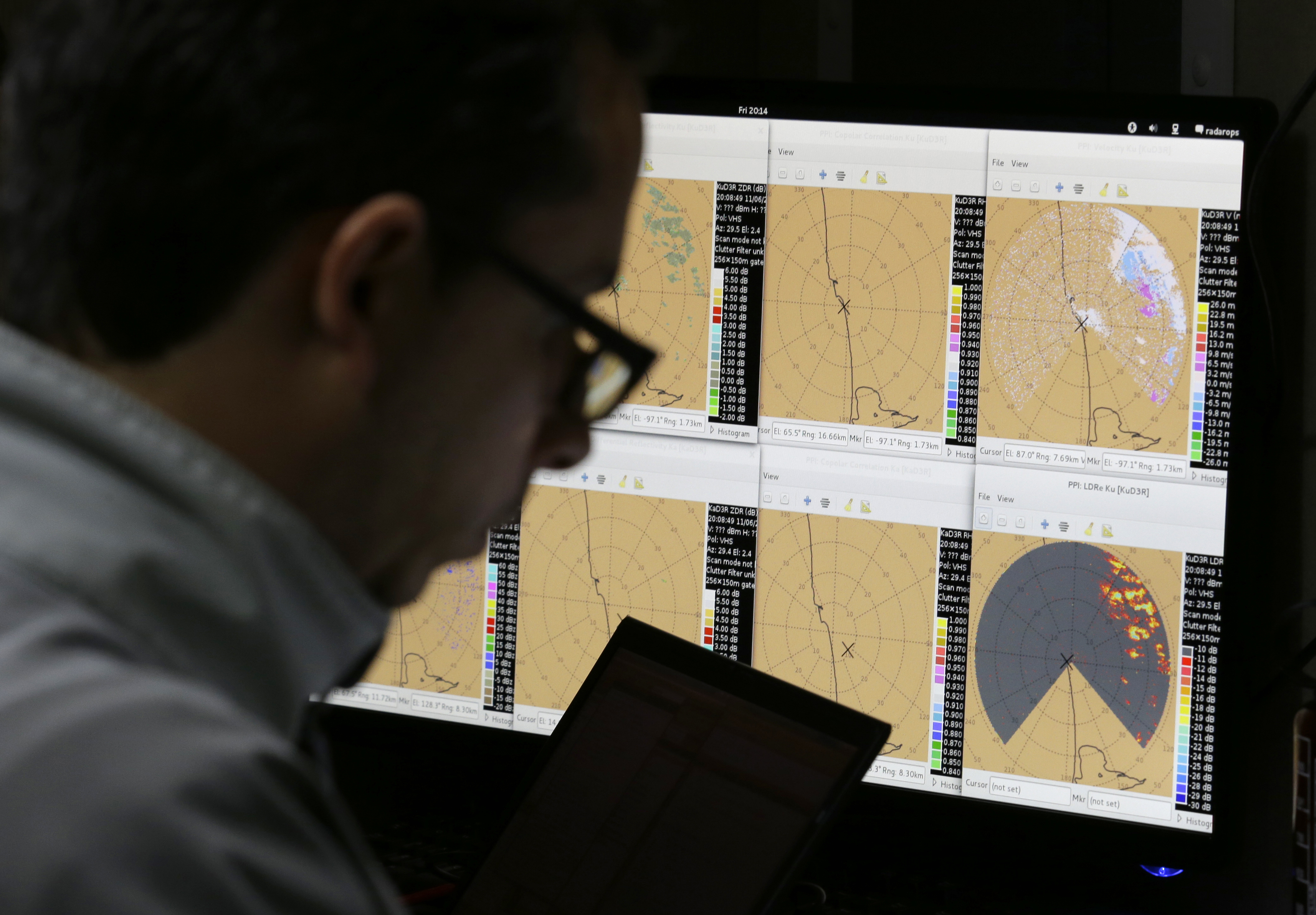
NASA scientist Mathew Schwaller works on a computer Friday, Nov. 6, 2015, near Moclips, Wash. Schwaller is the manager of a project led by NASA and hosted by the University of Washington that will measure raindrops and snowdrops and attempt to validate, on the ground, how well global satellites measure precipitation from space.
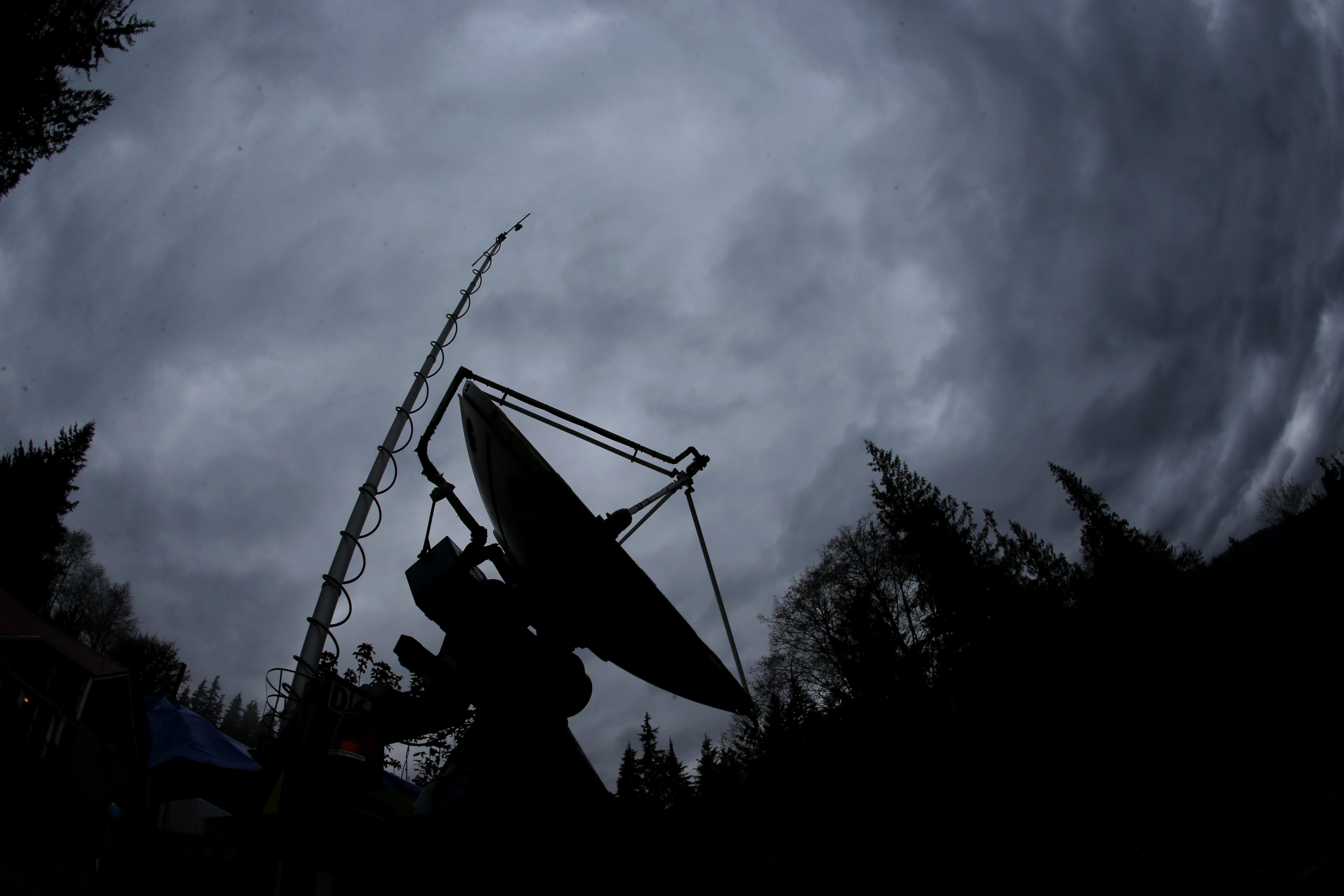
(AP Photo/Ted S. Warren)
A truck-mounted radar instrument called the Doppler On Wheels is silhouetted against cloudy skies Friday, Nov. 6, 2015, on the banks of Lake Quinault near Amanda Park, Wash.
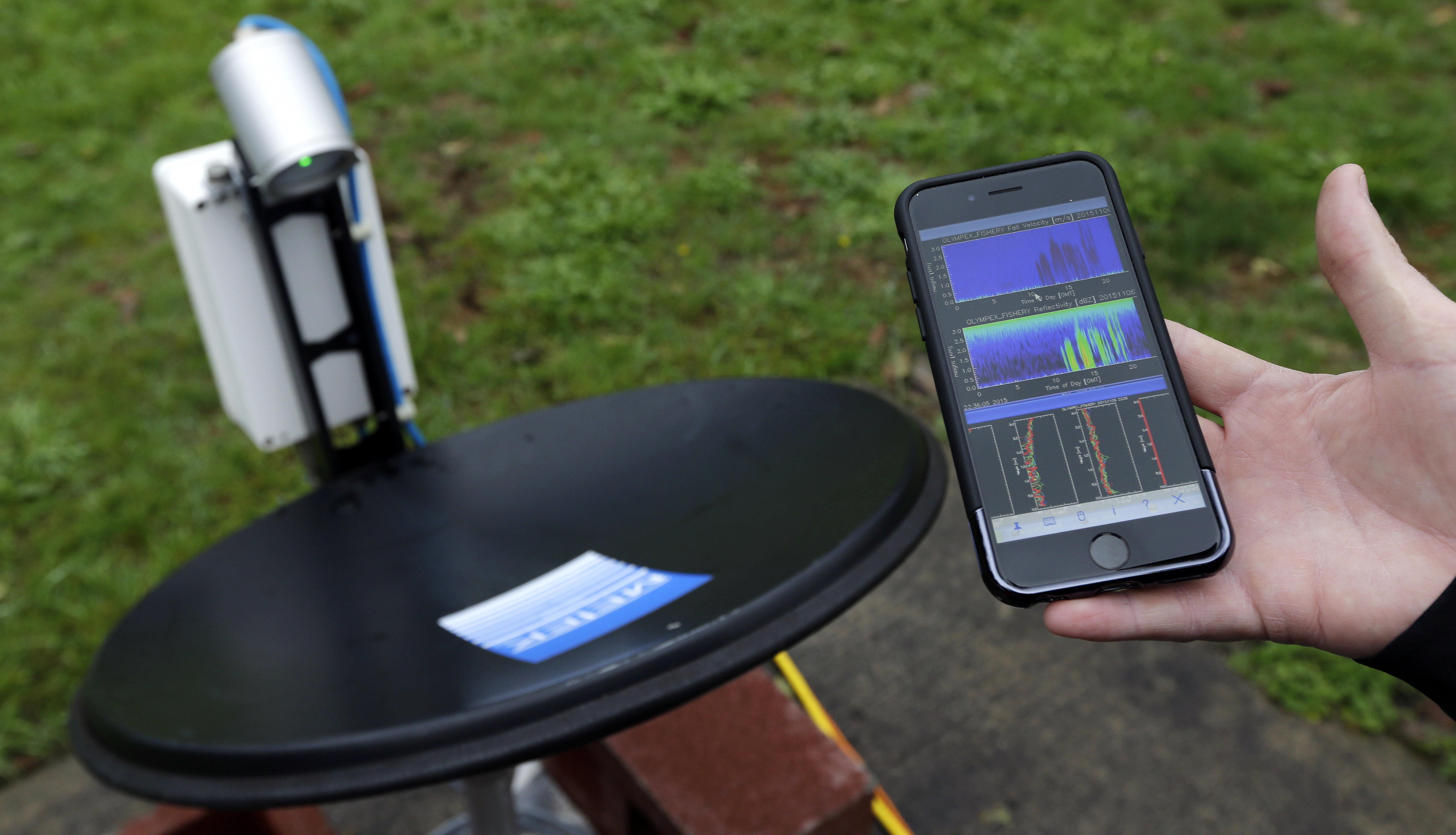
(AP Photo/Ted S. Warren)
Research scientist Matt Wingo views live radar precipitation data on his mobile phone as he monitors a radar dish located at the Quinault National Fish Hatchery in near Humptulips, Wash., Friday, Nov. 6, 2015.
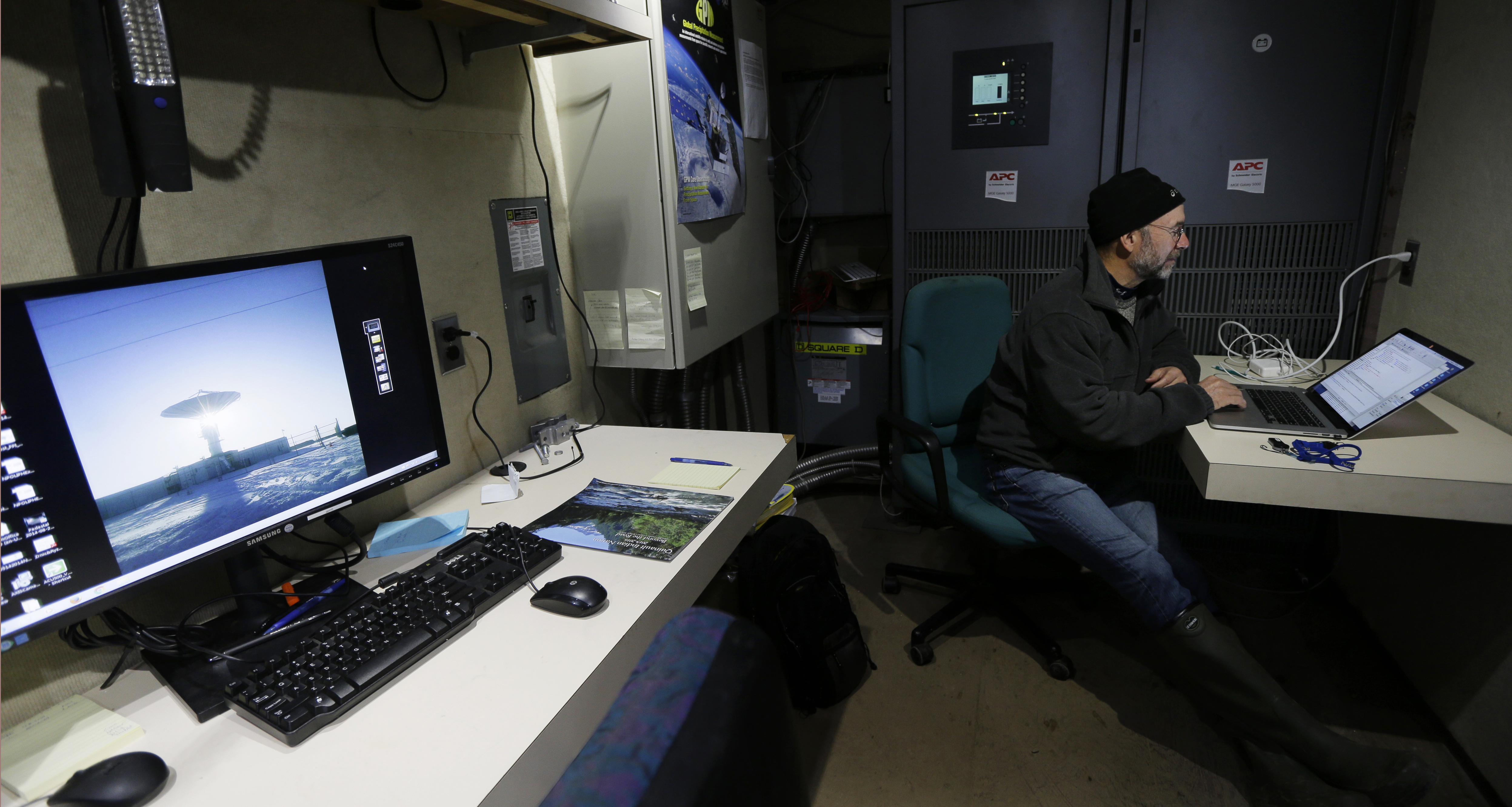
(AP Photo/Ted S. Warren)
NASA scientist Mathew Schwaller works on a computer Friday, Nov. 6, 2015, near Moclips, Wash., next to a monitor showing a photo of the large radar dish that will be used in a project he is managing.
(AP Photo/Ted S. Warren)
Electrical engineer Manuel Vega studies rainfall and other data Friday, Nov. 6, 2015, near Moclips, Wash.
Filed Under: Aerospace + defense


